Plate 12
Headwaters
Thank you for your order. Every Then & Theory plate comes from a true story, and this card tells the one behind yours.
The Then & Theory team
Cities under the canopy
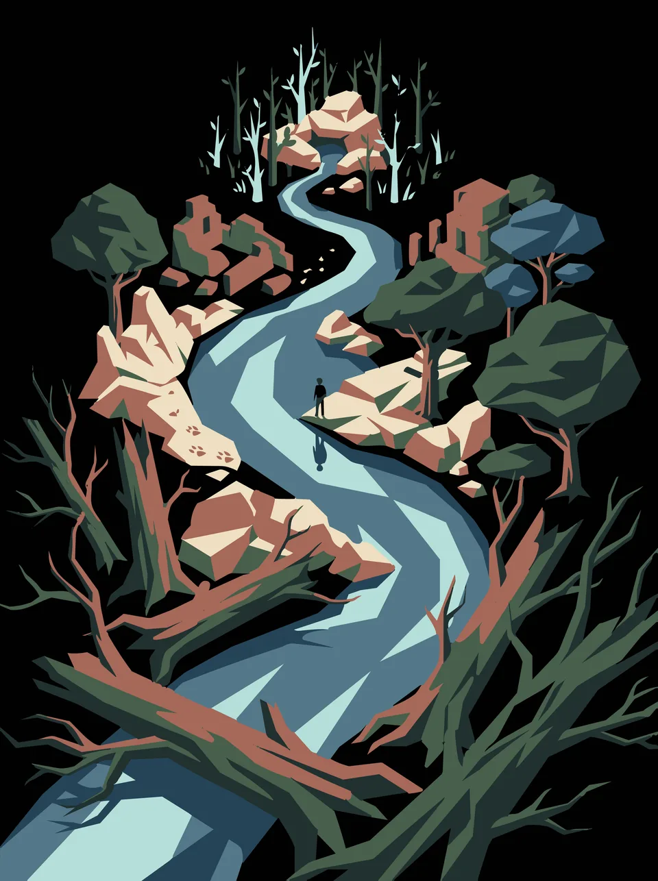
A river winds through forest, past ruined walls half hidden by trees. The plate names no place. In 2016 an aircraft flew a lidar survey over 2,144 square kilometres of northern Guatemala, measuring the ground with laser pulses through gaps in the forest. The maps showed Maya houses, causeways, possible pyramids and defensive works, joined into interconnected settlements. Most of the structures were probably stone platforms that once carried houses of poles and thatch. The survey has made archaeologists rethink how many people lived in the Maya lowlands and how they farmed.